01
FLEETEvery aircraft accounted for.
Manage aircraft, maintenance, and firmware rollouts across your fleet.
AERIAL OPERATIONS. CONNECTED.
Plan the flight. Follow every aircraft.
Bring the mission home.
One workspace for your fleet, your field team,
and everything between takeoff and landing.
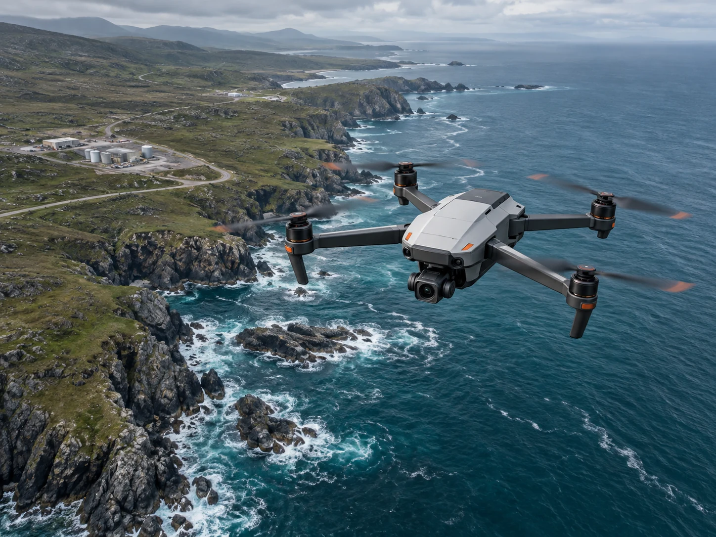 A NEW PERSPECTIVE01 / AERIAL INTELLIGENCEConcept imagery
Your drone operation is more than a moment in the air. Connect every stage of the mission.
Define waypoints, set your flight area, and give every aircraft a clear objective.
Bring aircraft positions and telemetry into view. Select a sample aircraft to explore its flight context.
Connect captured imagery, flight records, and mapping projects to the mission that produced them.
Keep imagery, flight history, and mapping outputs connected to the mission.
Keep dock assignments, aircraft status, and maintenance context together between missions.
Connect aircraft assignments, dock status, and maintenance context.
Command the big picture from the control room.
Carry mission context into the field.
Bring fleet visibility, mission planning, live video, and operational history into one command workspace.
A focused field view for mission context, aircraft status, and pre-flight preparation.
A connected foundation for the aircraft you manage, the data you capture, and the operations you run.
Manage aircraft, maintenance, and firmware rollouts across your fleet.
Bring multiple drone video feeds into a shared operational view.
Organize RGB, thermal, LiDAR, and other payload modules and their configurations.
Connect aerial imagery, flight geography, and mapping projects.
Manage dock locations, aircraft assignments, and mission schedules.
Coordinate multi-aircraft tasks and bring fleet activity into a shared mission context.
One API. Client SDKs in 11 languages.